David very kindly agreed early on to give a talk detailing his speciality of the application of computer software to visualisation or as he put it ‘stitching’ digital maps together inspired by old maps.
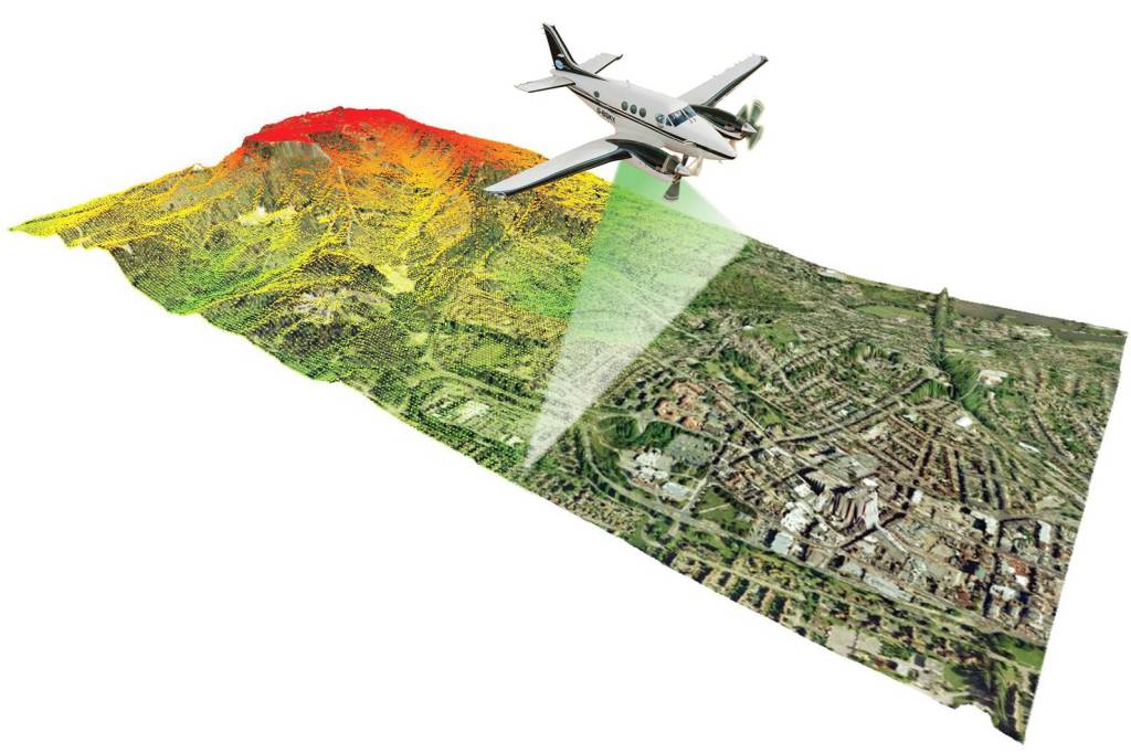
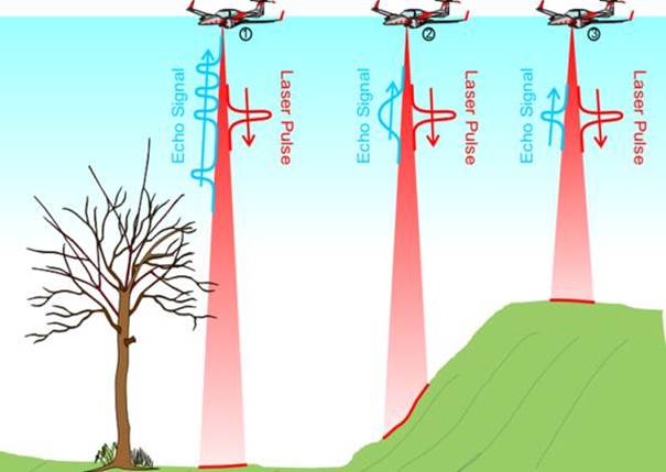
He shared his slides with me and I add a few below. He showed us how LiDAR scanning can be used to find hidden or lost features in the landscape, for example managed meadows. I don’t have all the details of all the images.


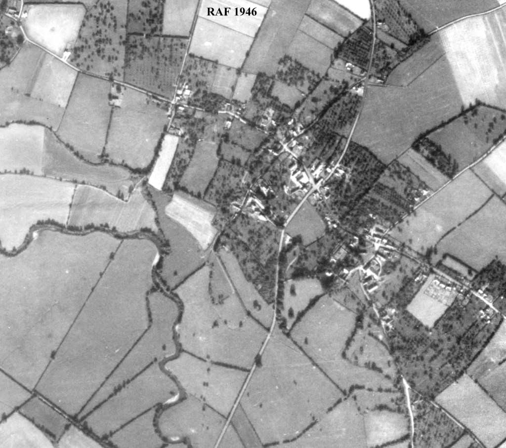
Example of historical maps of Sutton


Thank you to David for generously sharing his work with us. As you can imagine his re-mapping technique has varoius applications. He does give talks local to Herefordshire so do look out for these.
